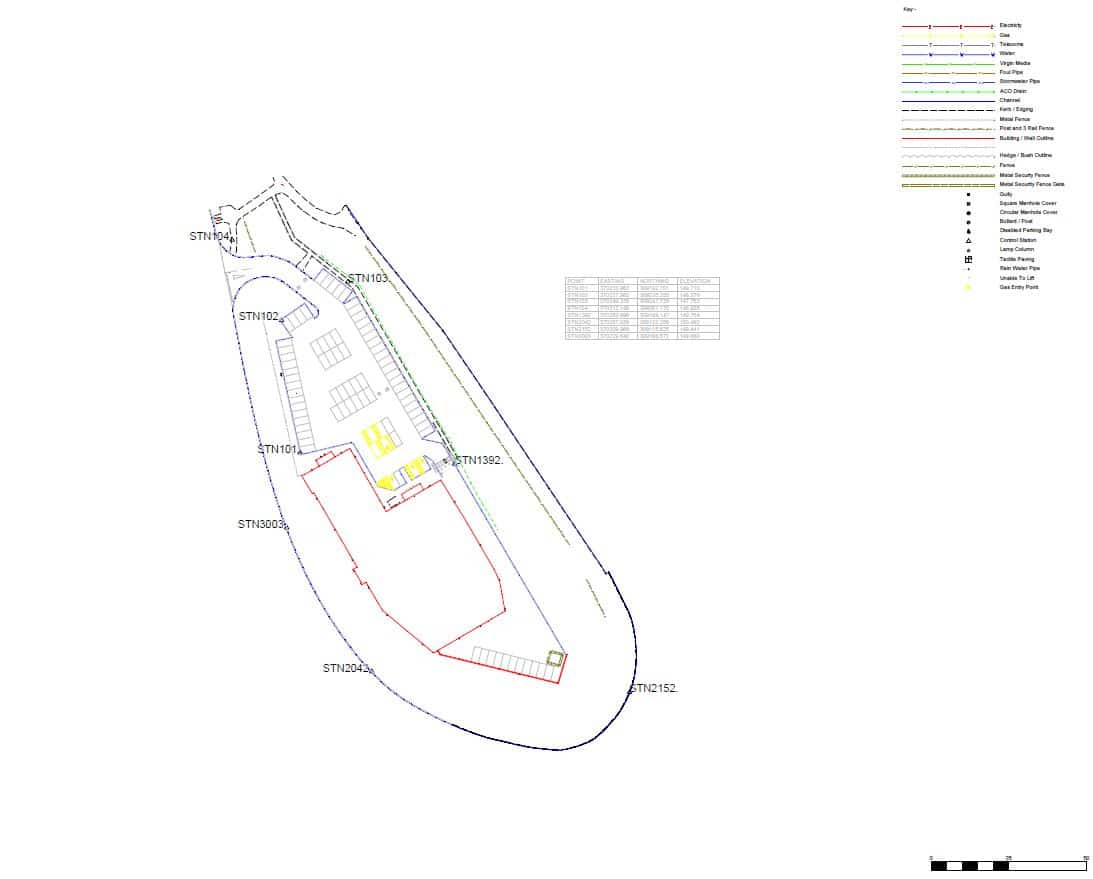
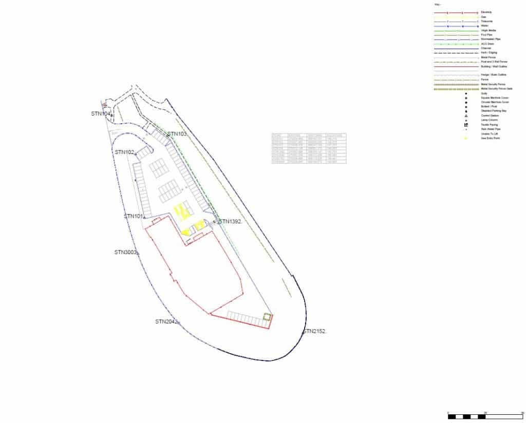
Topograpical Surveys
Before you can plan or build your development you will want to have a topographical survey of the proposed land or site for the project. This is an important stage as a good Land Survey will help progress your project throughout the planning and construction phases.
It is best to discuss your requirements for your project and what information and level of detail you will require.
Topographic Surveys of your site are done by either Total Station or GPS Surveying Equipment and then processed to produce a Digital Terrain Model showing contours and then an autocad drawing is produced from this. All the Land Surveys we provide are done to a scale factor of 1 and to a local grid. If you require your Land Survey to OS Grid then this can be done also.
Contact us to discuss your requirements and to receive a quote.