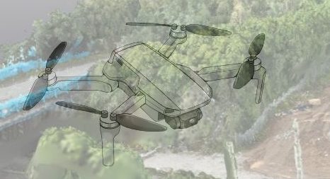
Turn Raw Drone Images into a Scaled Site Map
Stop stitching screenshots in Paint or guessing volumes from ground photos. Our Orthomosaic Drone Survey package captures hundreds of overlapping aerial photos and merges them into a centimetre-accurate, fully geo-referenced map you can drop straight into CAD, QGIS or Bluebeam.
What’s included
| Component | Detail |
|---|---|
| On-site flight | Defined Flight Area to Include all Areas of Interest |
| Ground control or RTK | RTK platform ensures ±50 cm XY accuracy without physical targets (GCPs optional upgrade). |
| Orthomosaic output | • GeoTIFF (cm-level resolution) • High-res JPEG for quick viewing |
| Extras | Basic DSM + point cloud preview so you can visualise terrain. |
| Quick turnaround | Download link & metadata PDF delivered via secure portal. |
| Full licence | Unlimited internal use for drawings, tenders, reports. |
| Compliance | PDRA01 authorised pilot. |
Who is it for?
-
Site managers needing a 3-week look-ahead backdrop for planning boards
-
Quantity surveyors tracking stockpiles and cut-fill volumes
-
Architects & planners requiring up-to-date underlays for extension drawings
-
Marketing teams wanting crisp, zoomable imagery for stakeholders
Booking steps
-
Tell us your preferred flight date.
-
Enter site postcode & brief notes (access, induction times, PPE rules).
-
Checkout securely. We’ll confirm airspace and weather within 24 h.
-
Fly day – pilot completes 20-min site walk, captures grid mission.
-
Processing & delivery – orthomosaic and PDF report sent securely.
Need a larger area or GCP-enhanced accuracy? Add a note at checkout and we’ll quote the difference before work begins.
Why orthomosaics beat Google & manual photos
-
Up-to-date – imagery is days old, not months.
-
True scale – every pixel is a fixed ground distance; drop into CAD without warping.
-
Consistent alignment – month-on-month comparisons align perfectly for progress reports.
-
High resolution – typically 2–3 cm GSD versus Google’s ±50 cm.
Put simply: one flight saves hours of measurement guess-work and generates visuals that impress clients and regulators alike.
FAQs
Q: How accurate is the map?
A: With RTK only, expect ±15 cm XY, ±50 cm Z. Add ground-control targets for ±10 cm absolute accuracy.
Q: Can I request volume calculations?
A: Yes—we can calculate Volumes at an extra cost after booking.
Q: What file size should I expect?
A: A 2 ha site exports to ~800 MB GeoTIFF and ~60 MB JPEG; we supply a Dropbox link or other secure method.
Ready for a map you can actually measure?
Choose your date, drop in the site postcode, and click Request Flight & Checkout. We’ll take care of the sky-work—so you can get back to building.

