DTM Ground Volumes
DTM (Digital Terrain Model) Ground Volumes are a more complex and involved version of the Stockpile Volume Method.
This would usually require us doing a survey of the existing ground, picking up all the relevant features. The survey would then need processing to check that it matches the design area.
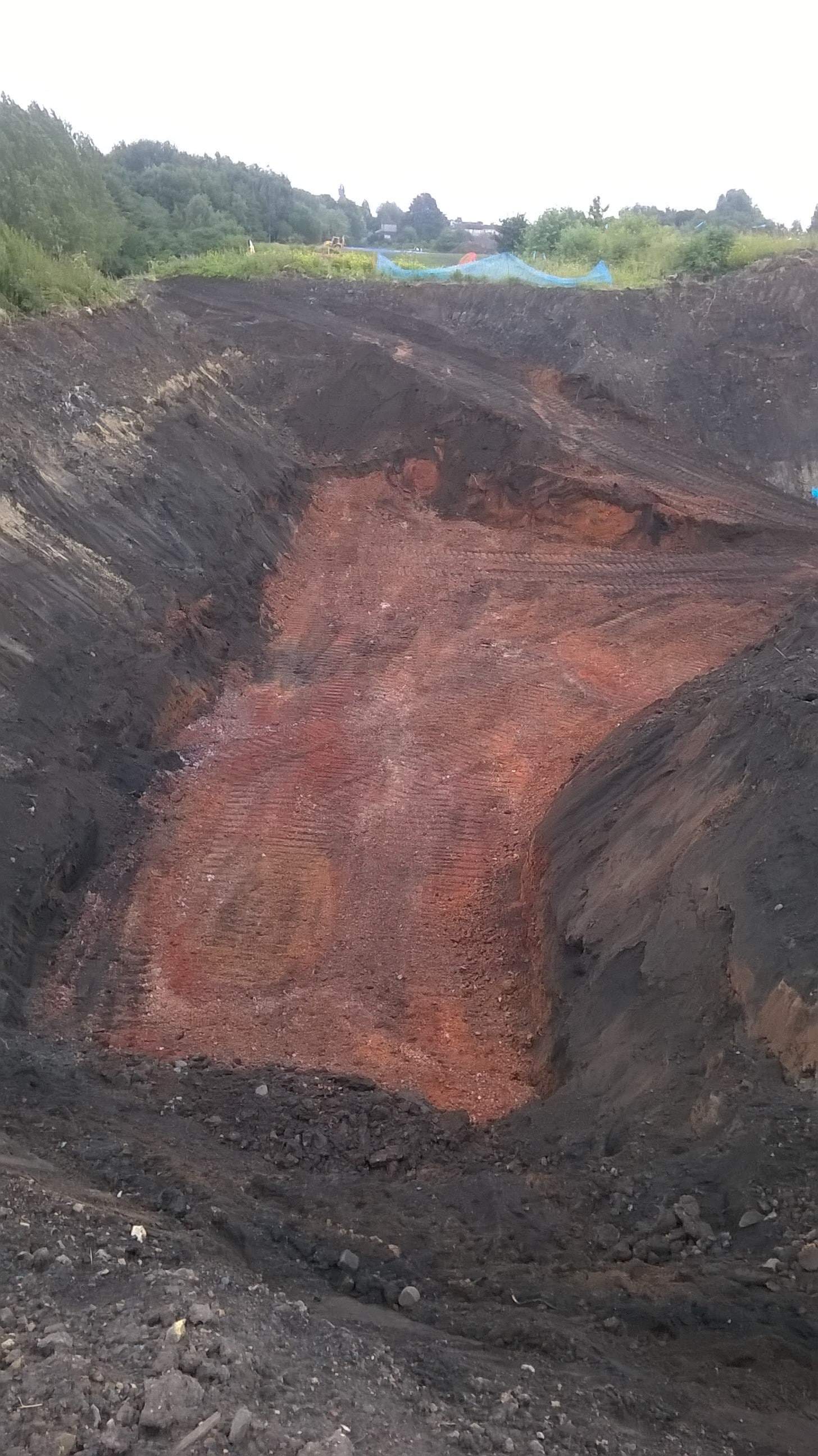
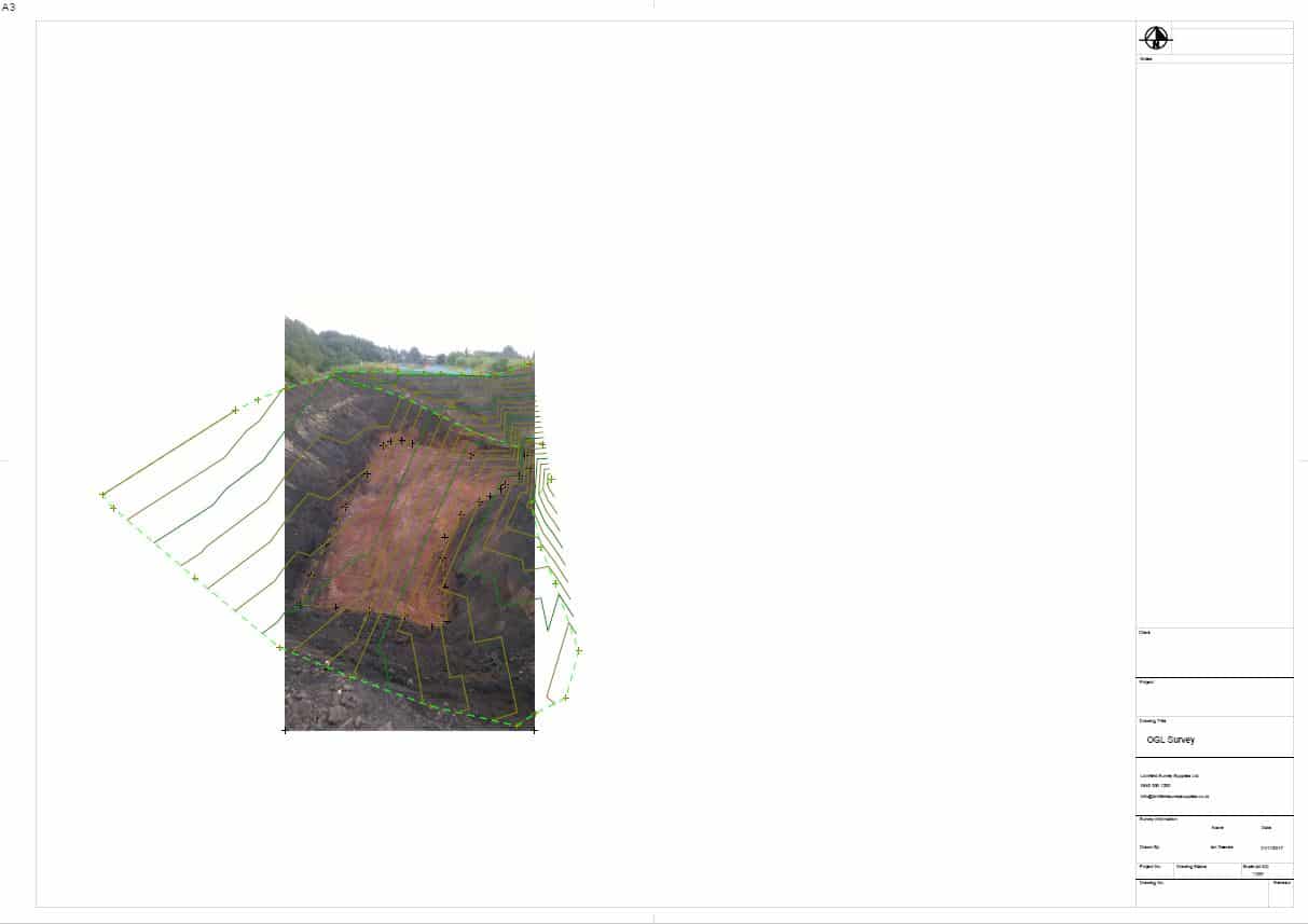
The first operation in calculating a DTM Ground Volume is to obtain a reference DTM surface to compare against. This would involve carrying out a survey before any works have been carried out on the site. This would be referred to as the OGL (Original Ground Level) Survey.
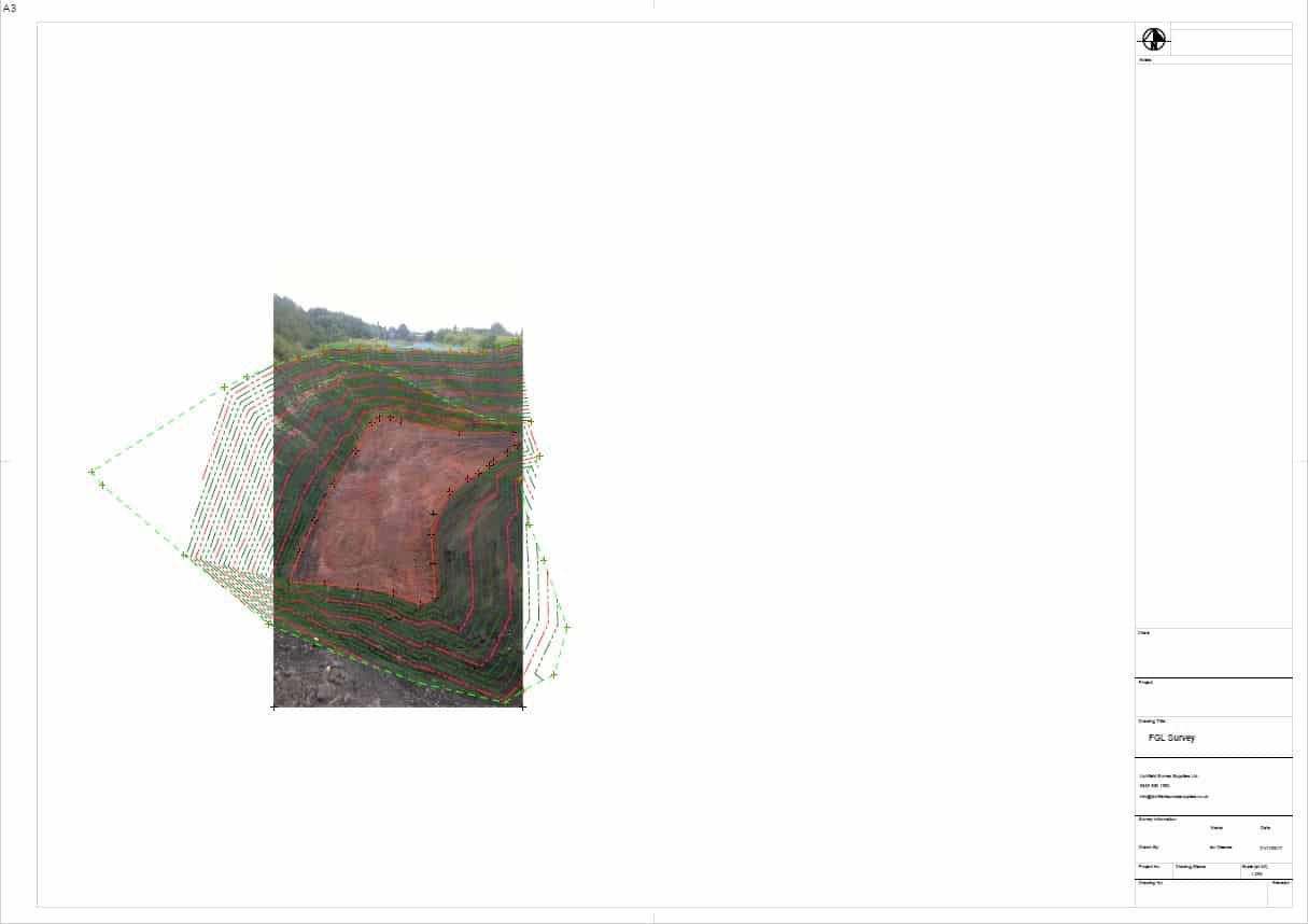
Once the excavation or fill works have been completed another survey will need to be carried to produce a FGL (Finished Ground Level) survey. This will usually be a more complicated survey which will include features and breaklines to produce an accurate representation of the finished ground. From this a DTM surface can then be produced of the FGL.
From these two surveys and the DTM surfaces produced, we can then use the prism method to accurately calculate the volume between the two surfaces. This volume is then presented in a drawing format, usually in a pdf format.
